Icy Evening Along the Missouri River

While driving in to Pierre, South Dakota in early February to visit my folks, I couldn’t help but notice the ice build up on the Pierre side of the Missouri River.  I thought, “Hey, that ice might make an interesting foreground subject!”  So, on a brisk Saturday evening, I took  stroll down by the river with my camera.  I had to carefully negotiate the rock lined river banks to get close to the ice, and being careful not to get out onto the ice (I had no idea how thick it was) was able to get a few enjoyable images.

20140201-Missouri River Shoreline III - w

The Oahe Dam is just a few miles upriver from Pierre.  Because the flows from the dam vary day to day, so does the level of the river downstream.  Because of this fluctuation, ice sheets along the Missouri shore can crack apart and fall back into the river.

20140201-Icy Evening - w

Wind and water currents pile up ice blocks along the banks of the Missouri below the 100+ year old train bridge that is still used by trains on a daily basis.

20140201-Missouri River Shoreline II - w

A historic flood hit this area a few years ago, with currents so strong, the sandbars and deep channels of the river were rearranged.  This stretch of river used to be much deeper, but after the flood is very shallow, which probably promotes the ice formation along this section of shoreline.

Categories: Nature | Tags: , , , , , , | Leave a comment

A Prairie Morning – Along the Bad River Road, South Dakota

Over Football’s Super Bowl weekend, I visited my parents in my hometown of Pierre, South Dakota.  On that bitterly cold Sunday morning, I took a drive down the Bad River Road outside Fort Pierre to see what I could see.  What I saw was a disappointing lack of snow in the area.  I’ve been down the Bad River Road in the fall when the prairie has gone dormant and turned brown, so I was really hoping to get some prairie shots with snow!

Even though I was bummed at the lack of snow, I quickly took notice of the hundreds of deer that were calling this area home for the winter.  I rarely seek out wildlife photos, but with literally hundreds of deer running about, I turned my mood around and kept my camera at the ready.

20140202-Whatcha Lookin' At- - w

I thought the deer in the above shot was thinking, “Whatcha looking at?”  I was able to only get off a few hand held shots from my truck before he turned tail and ran off, taking his friends with him.  Can you spot this buck’s friends?

20140202-Lonely Life on the Prairie - w

I saw this lonely, isolated tree close to the road when it was still really dark out.  As the morning twilight gave the sky interesting color, I still didn’t have a composition I was excited about, so I drove like a mad man back to this tree and took its picture.   The few trees that do live out on the prairie do not have a lot of company and this one is definitely living “The Lonely Life.”

20140202-Winter Prairie Grass - w

Once twilight waned and the sun began to rise, I headed to a small creek bottom that I thought would make interesting leading lines in an image.  I took a few shots of the image I originally had in mind, but was feeling uninspired.  But once the sun broke the horizon, it lit up the long grass near the creek, and with the frost beginning to melt off the grass, made it appear to glow.  I crouched down really close to the ground and positioned my camera just a few inches away from an area of grass that was untrammeled and blasted off this image;  it turned out to be my favorite image of the trip.

Categories: Nature, Wildlife | Tags: , , , , , , , , | 3 Comments

Top of the Rock – Manhattan Light

New York City really is a city of lights.  During my trip to New York last fall, I wanted to get a night photo of “The City,” using the city’s lights to show how incredibly large the metropolitan area is.  I thought about going to the observation deck at the Empire State Building, but heard it was challenging to take a good picture from there because the metal safety screens surrounding the observation deck obscure the view.  Also, with the Empire State Building being one of the most recognizable buildings on the New York skyline, I wanted to include this iconic structure in my photo.  So, I ended up heading to the observation deck at Rockefeller Center.  The lower level of the observation deck at the “top of the rock” is glass, but even better, the upper level offers completely unobstructed views.

To prepare for the shoot, I went on Rockefeller Center’s website and couldn’t find anything regarding restrictions, so I think “Sweet!  I’m bringing my tripod!”  Unfortunately, once purchasing the tickets in the lobby that night, in huge bold letters on the ticket, it said “No Tripods Allowed.”  I’m thinking, “How can I get a sharp image in such low light without my tripod!?!”  I decided to nonchalantly carry my tripod up to the observation deck (I had been carrying it around Manhattan all day), and if the opportunity presented itself, I’d thumb my nose at authority in pursuit of a sharp image.  I stayed away from the crowded areas of the observation deck and it turns out, the security guards turned a blind eye to me and my tripod!

20131115-Top of the Rock landscape - w

What an incredible view!  Bathed in blue and red light, the Empire State Building is easily recognizable.  Off in the distance to the right of the Empire State Building, you can see the new World Trade Center.  Also, you can see the incredibly bright Times Square on the right side of the frame.

20131115-Central Park Night - w

Looking North from Rock Center, Central Park stands out as a dark patch in the landscape of lights that merge with the horizon.

20131115-Top of the Rock Portrait - w

It was a brief trip to New York, but I thoroughly enjoyed my stay in America’s largest city.  I can’t wait to visit again!

Categories: Architecture | Tags: , , , , , , , , | Leave a comment

January in Jackson Hole, Wyoming

I have a severe backlog of other images to edit and post, but I couldn’t help myself and went ahead and edited a few photos from my recent trip to Jackson, Wyoming.  The main reason for the trip was to ski, but I did get up early and stayed out late with my camera on a few occasions.  Jackson Hole is absolutely stunning any time of year, but the gigantic Teton Range covered in snow is an extra special site to see.  Another bonus of visiting Jackson Hole and Grand Teton National Park in the winter is that the crowd levels are way down compared to the summer and fall months.

Driving in Thursday night, I noticed a full moon rise and looked at the moon set time and saw it would set near sunrise the next morning.  So, I woke up early with high hopes for a great morning shoot.  I drove north out of Jackson looking for a good composition of Grand Teton.  I found a cool looking group of trees that would make a great foreground with “The Grand” behind and set up my camera along the side of the highway.  I first made the panorama below when it was still quite dark out.

20140117-Grand Teton Moonset - w

A few minutes later, the scene exploded in color.  I zoomed out slightly and included more of the pastel clouds, creating my favorite image of the trip.  Amazingly, a few other photographers that were also parked along the road stopped shooting and loaded up their camera gear and drove off looking for a different spot during these precious few seconds of peak color!  Yes, these first two images are very similar, but if I were in a hurry to get to the next spot, I would have missed this incredible moment.  In landscape photography, sometimes it pays to be patient.

20140117-Moonset Pastels - w

The vibrant pinks and purples began to fade quickly, so I pulled out my wide angle lens and decided to focus on the sagebrush in the valley.  The sage caused drifts and patterns and textures in the snow that I found interesting.  The moon still refusing to dip behind the Teton Range was a nice little bonus.  Less than a minute after taking this image, the moon was lost behind the mountain ridges.

20140117-Sage Drift Sunrise - w

At this point in the morning, I knew I had a few strong images, but wanted to explore the area a little more before heading off to Jackson Hole Mountain Resort to go skiing.  I hopped in my truck and turned off the main highway at the Antelope Flats Road to scout out the often photographed Moulton Barns.  I parked at the winter road closure and while looking to see how far off the barns were, really liked the look of the buried grasses and sage as the sun cast its first direct light of the day on the valley floor.

20140117-Jackson Hole Winter Grass - w

I couldn’t help but notice the frosted trees and how they appeared to sparkle with the low angled sunlight hitting them.  I tried to shoot the back-lit trees (the trees right below the sun in the above picture), but my cheap-ish 70-300mm zoom lens is prone to really nasty flare when shooting directly at the sun.  I ended up settling on shooting some trees that were still nicely lit, but not fully back-lit.

20140117-Frosted Trees - w

After a hard day’s skiing at the resort, I set out to shoot sunset.  After driving a while I decided to pull over and ended up at the Snake River Overlook.  Ansel Adams made this viewpoint, along with the Tetons themselves nationally recognizable in 1942 with what would become one of him most recognized images.  The trees in the foreground have grown much taller over the last 60+ years, but the view of the Snake River and the Tetons is still breath taking.

20140117-Sun over the Snake - w

I processed the first two images in this blog at the hotel in Jackson.  When I showed them to one of my friends, he asked, “is that really what the sunrise was like?”  I invited him to come along with me the next morning and find out for himself.  Once again, I got up early, well before sunrise, and drove to the winter trail head for Mormon Row.  We hiked the mile or so out to the Moulton Barns with just enough time to spare before the night sky gave way to pinks and purples of morning twilight.  The sunrise was not nearly as spectacular as the morning a few days prior, but beautiful nonetheless.

20140120-Moultan Barn Morning Twilight - w

Jackson Hole and the surrounding area are truly a special place any time of year.  I would practically cut off my left arm if it meant I could reside in this beautiful valley.  For now, I will take thanks that I live in the same state as the Tetons and they are close enough to visit over a weekend.

Categories: National Parks, Nature | Tags: , , , , , , , , | 1 Comment

New Year’s Resolution

One of my New Year’s resolutions is to learn Photoshop.   I’ve been serious about photography for over five years now, so I’d say I’m long overdue to take the plunge and join the “dark side” of photo editing.  I avoided learning Photoshop for so long because I was honestly too lazy to learn new software and I was put off by the cost.  I also avoided using Photoshop because of the sometimes negative stigma associated with photography and “photoshopping.”  The fact of the matter is every professional photographer, and most serious hobbyists for that matter, digitally re-touch their images.  Photoshop is simply the best (and most expensive) editing program out there.  Truth be told, I have been re-touching my images for several years now using Adobe Lightroom and plugins like Nik Efex.  With these programs, and now with Photoshop, my goal is not to create unrealistic images, but to further improve the images I do take and to help overcome the limitations of my camera gear.

To demonstrate the limitations of even my high end camera system, have a look at this series of pictures of the Capitol Building in Pierre, SD.  Below, in the first image there are two major issues that stand out to me: First, by focusing on the rock at the bottom of the frame, the Capitol and grounds are blurry because my camera can’t keep both the close up rock and far away capitol building in sharp focus.  In fact, even with a wide angle lens, the focus zone is so small that the rock sticking out of the water on the right middle of the frame is already out of focus.  Second, by exposing for how much light the rock needed to be properly lit, the capitol and grounds are overexposed and in the case of the capitol building, so overexposed there is no detail in that area, just pure white.  After all, cameras are just machines and can only record so much of a range of light, much less than the range we see with our eyes, and I have exceeded that range with my camera in the image below.

20130901-_MG_4956

In the next image, I focused on the capitol building and also set the camera’s exposure so the capitol dome would be properly exposed.  I now have the same problem as in the first image but in reverse:  Now the rock in the foreground is blurry and also very much underexposed.

20130901-_MG_4959

Now here is where Photoshop comes into play.  I loaded the two above images into Photoshop and used layer masking to merge the properly focused and exposed capitol and grounds picture with the properly focused and exposed rocks in the foreground picture to make a single properly exposed image with sharp focus in both the foreground and background.   

20130901-_MG_4957-01-01-01

The above example shows a relatively extreme case of my exposure woes.  In practice, I always carry a variety of filters that I place in front of my camera to help control the dynamic range of a scene.  Sometimes, as in this case, using filters is not ideal or is still be insufficient to control the dynamic range of a scene.  Even though I prefer using filters in the field to correct exposure, obtaining “front to back” sharpness in an image is a chronic challenge.  With Photoshop, I will now overcome!

I don’t believe that by learning Photoshop my landscape images will become fake and from my imagination alone.  Instead, I look forward to using it to correct the limitations of my camera and gear and ultimately present an image that is more pleasing to view and is still true to the scene I actually photographed.

Categories: Architecture, Photoshop | Tags: , , , | 1 Comment

2010: A few long trips into the mountains (and elsewhere).

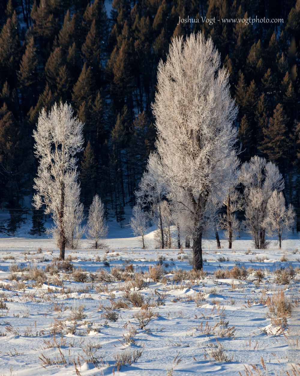
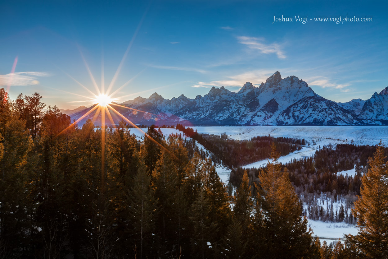
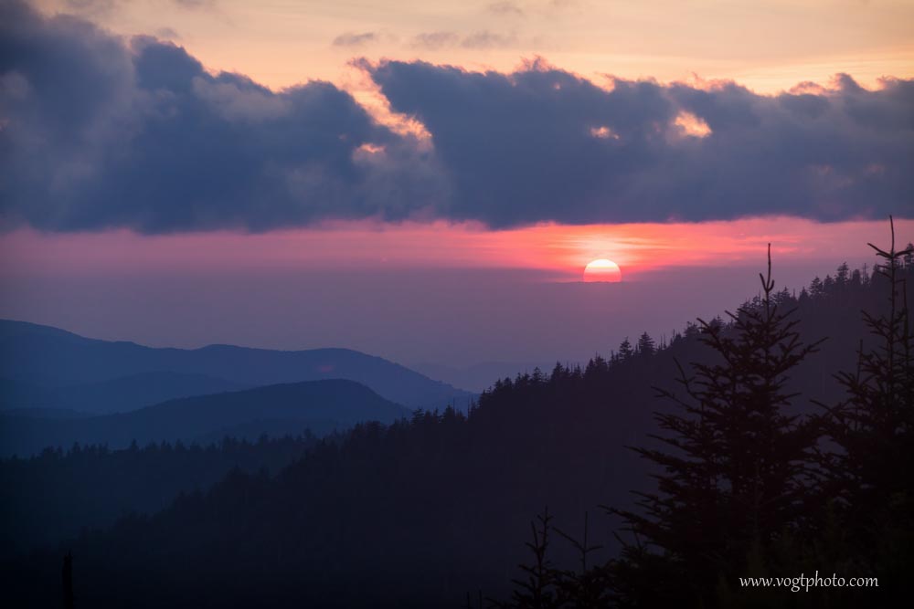
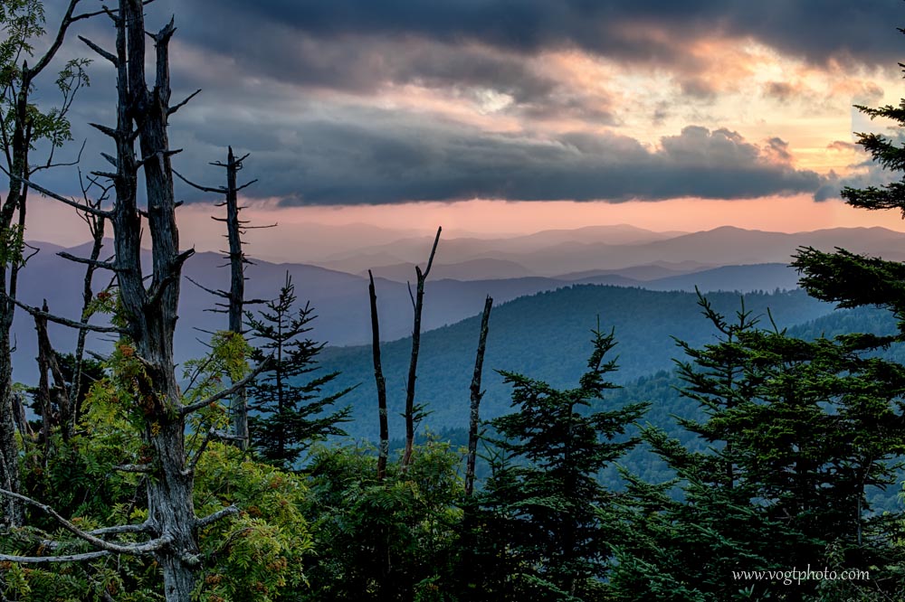
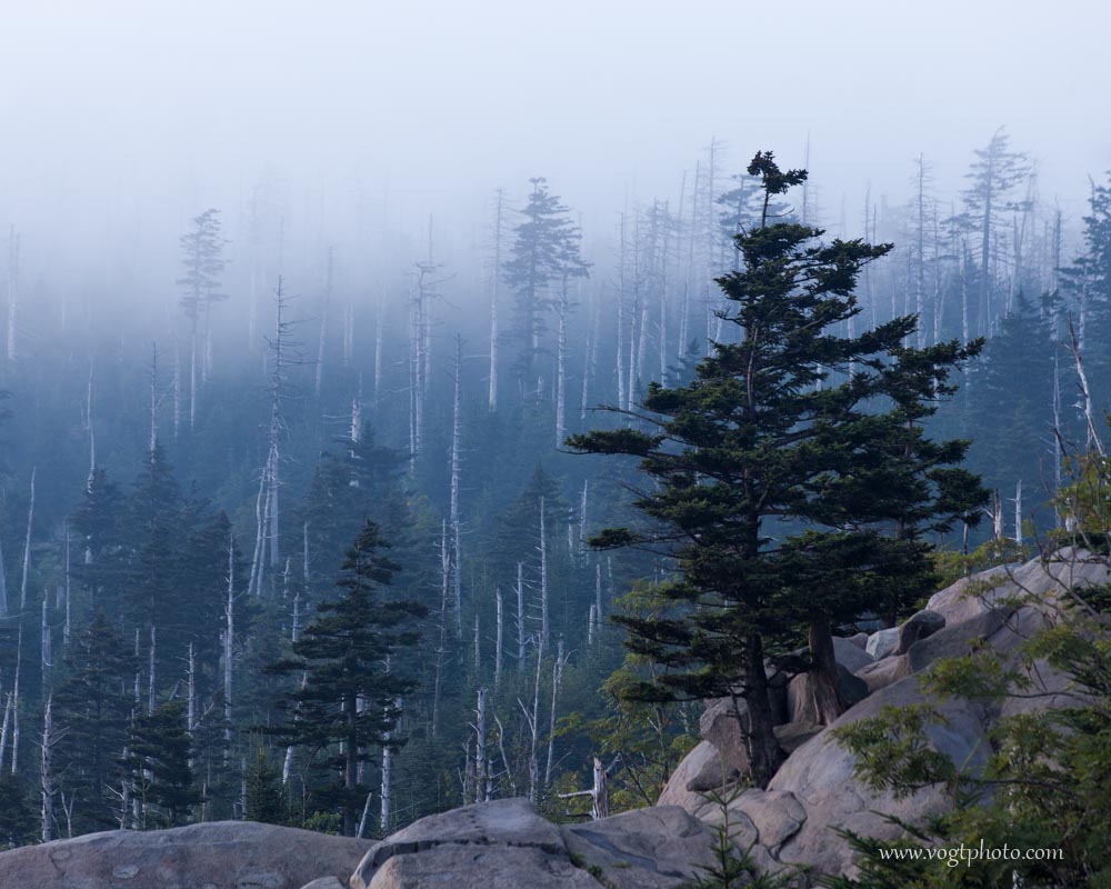
2010  was a wild year for me.  After more than two years in the Vail Valley, I moved to Glenwood Springs to be closer to the construction project that I was promoted to manage.  Unfortunately, the new project and responsibility left little time for hiking and photography.  Even though I did not have as much free time as I would have liked, I was able to sneak away from civilization for a few longer backpacking trips. In one trip, I hiked Mount Sopris, near Carbondale, Colorado, and followed the 12000 foot high Elk Mountains Ridge from Mount Sopris all the way South to Capitol Peak.  Four days, thirty miles and twelve thousand vertical feet of hiking later, my black lab Sally and I emerged at the Capitol Peak trailhead  where my roommate had kindly stashed my truck for me!  Another memorable hike of the Summer was over the Fourth of July where I hike nearly thirty miles to the headwaters of  the Piney River in the Gore Range, crossed West Booth Pass and descended the Booth Creek drainage ending my hike near Vail.  During that hike, I had a very close encounter with a friendly mountain goat and spent the night of Independence Day curled up in my sleeping bag hunkered down in my tent during a snow storm!  I lucked out in the Fall when I visited the Kebler Pass area near Crested Butte and the McClure Pass area near Marble during the height of Fall colors.   Of course, when winter set in, I spent as much time as I could sliding down the local mountains on my skis.  Even though I wasn’t able to get out into the wild as often as I wanted, I was very productive with the free time that I did have!  What a great year!

20100619-Brush Creek Headwaters-01-w

Brush Creek Headwaters – Holy Cross Wilderness, Colorado

Lake Charles and Mystic Island Lake sit at the head of East Brush Creek; a creek that finds its source in a cirque with towering 13,000′ peaks surrounding the valley.  The scale of the image above is impressive.  More than a mile separates Lake Charles (in the lower right of the frame) and Mystic Island Lake (in the upper left of the frame).

20100704-Piney Flowers-01-w

Ripsaw Reflection – Eagles Nest Wilderness, Colorado

Black Tooth Mountain and Ripsaw Ridge are reflected in a small pond northwest of West Booth Pass in the Eagles Nest Wilderness outside Vail, Colorado.

20100704-Piney Goat-01-w

Piney Goat – Eagles Nest Wilderness, Colorado

A curious goat says hello deep in the Eagles Nest Wilderness north of Vail, Colorado.

20100708-Desert Survivor-01-w

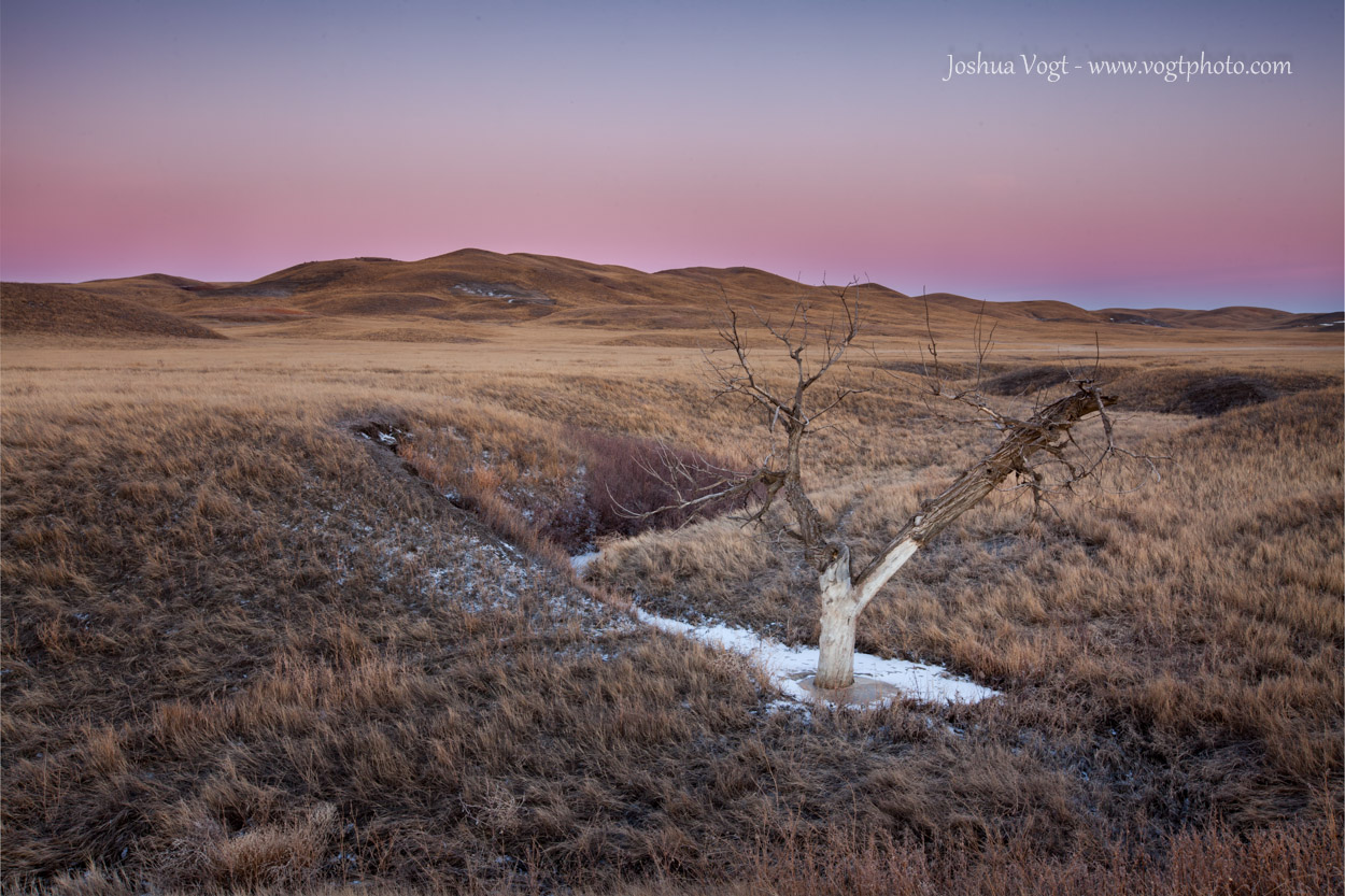
Desert Survivor – Utah

A lone tree clings to life in the Utah desert somewhere along a lonely highway.

20100710-Desert Tracks-01-w

Desert Tracks – Glen Canyon National Recreation Area

The desert is alive!  Insect tracks crisscross a windswept pattern in the sandy landscape near Lake Powell in Glen Canyon National Recreation Area.

20100814-Logging Landmarks-01-w

Logging Landmarks – Collegiate Peaks Wilderness, Colorado

Even though a large portion of the Colorado high country is now protected as Wilderness, the land was not always held in such regard; the results of past clear cut logging are still clearly visible decades after this area, near 14er Huron Peak, was protected.

20100819-Mount Callahan Clouds-01-w

Mount Callahan Clouds – White River National Forest, Colorado

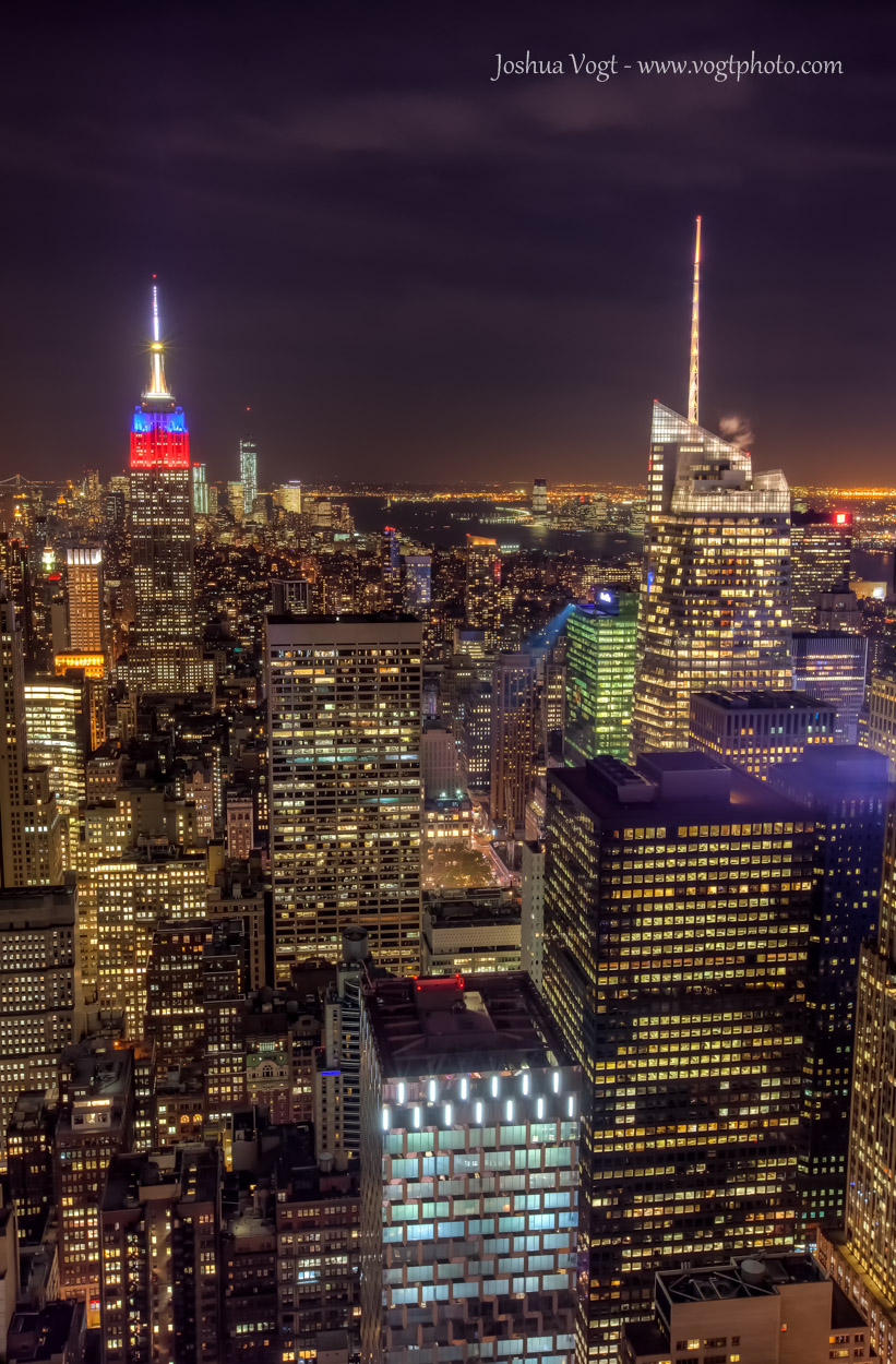
The great thing about Colorado is almost every town in or near the mountains is incredibly scenic.  I took this photo of a clearing storm from from the sidewalk in front of city hall in Parachute, Colorado; no hiking involved!

20100825-Homestead Pond-01-w

Homestead Pond – Moffat County, Colorado

Decaying remains of an old homesteader’s cabin sit right alongside the highway North of Meeker, Colorado.  I drove by these remains this fall and this interesting window has deteriorated greatly in just the three years since I took this picture.

20100828-Fiery Flat Tops-01-w

Fiery Flat Tops – Flat Tops Wilderness, Colorado

A clearing storm is lit ablaze by the last rays of sunlight high above Wall Lake as seen from Trappers Peak, deep in the Flat Tops Wilderness.

20100829-Flat Tops Vista-01-w

Flat Tops Vista – Flat Tops Wilderness, Colorado

Puffy Clouds drift by a small pond surrounded by a grassy meadow on top of the plateau southwest of Trappers Peak in the Flat Tops Wilderness of Colorado.

20100926-Crystal Mill-01-w

Crystal Mill – Near Marble, Colorado

One must follow a rough 4×4 road into the mountains outside Marble, Colorado for more than six miles to reach this landmark. To see a structure so old in such a remote place is really something special. Unfortunately, as beautiful as the Crystal Mill is, it stands a reminder to me of man’s zeal to exploit nature; even in the most remote and beautiful of places.

20100927-Crystal Mill HDR-01-w

Fall and Fire – Crystal Mill outside Marble, Colorado

A fiery sunrise and fall color combine to create a scene to remember at the often photographed Crystal Mill, deep in the Elk Mountains.

20101001-Arkansas Peak Cloud-01-w


Arkansas Peak Cloudscape – Maroon Bells Snowmass Wilderness, Colorado

An interesting cloud forms over a lone tree on top of Arkansas Peak with the massive Treasure Mountain looming in the distance.

20101227-Prarie Ruins-01-w


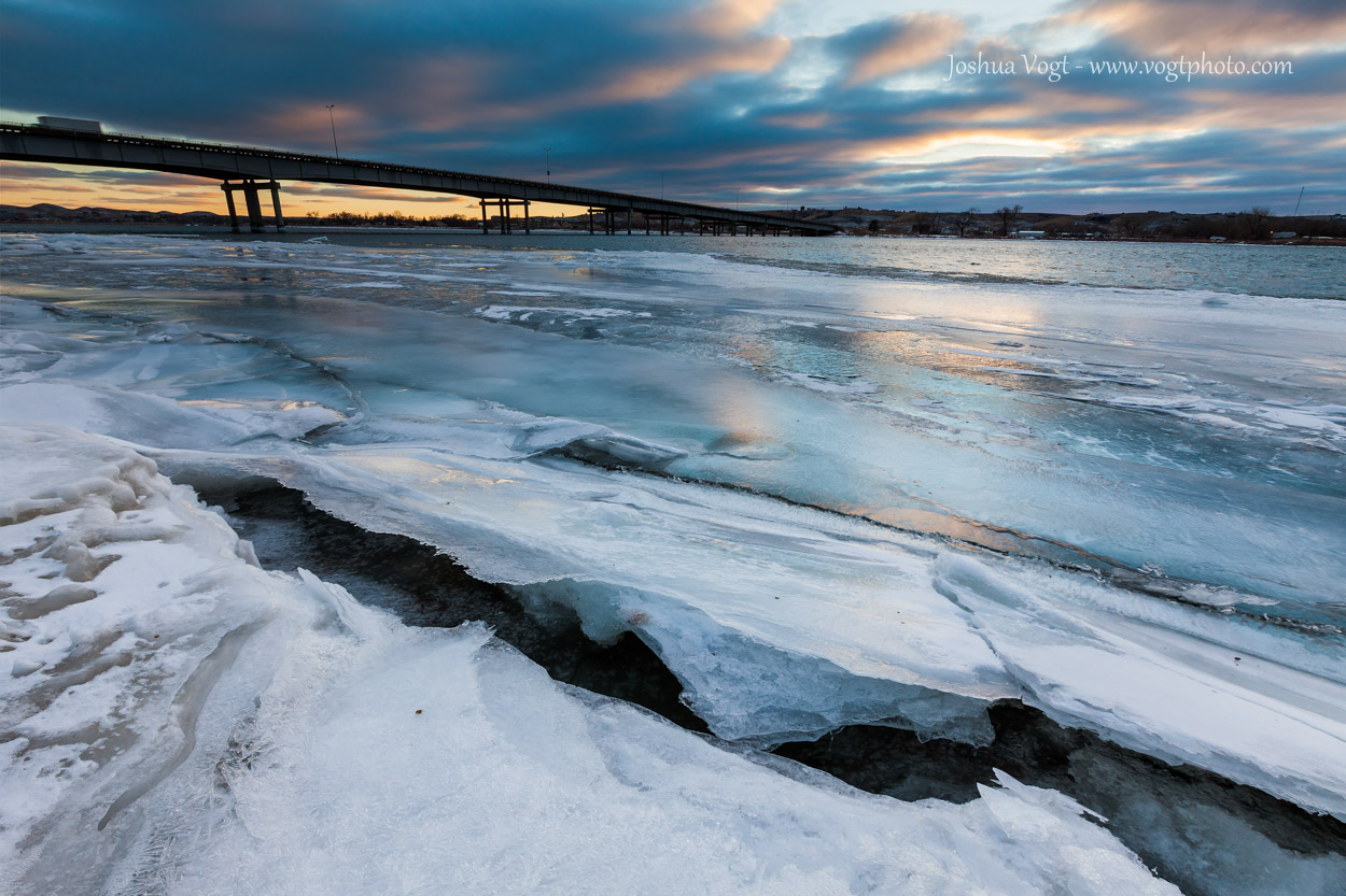
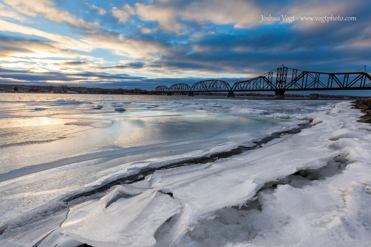
Prairie Ruins – Western South Dakota

A slowly decaying fence stands alone on the vast South Dakota prairie.

Categories: Architecture, Hiking, Nature, Wildlife | Tags: , , , , , , , , , , , , , | Leave a comment

Great Smoky Mountains National Park – Water & Wildlife

In a recent blog post from Great Smoky Mountains National Park, I shared my favorite photos I took around Clingmans Dome.  Even though Clingmans Dome offers sweeping mountain views of the undulating ridges that make up the Appalachian Range, what I remember most about the Smokies was the water and wildlife.

As a photographer, I personally prefer grand landscapes to intimate scenes and macro photography; a quick look at my portfolio and you’ll understand!  In the Smokies, finding the grand sweeping views I love to photograph was much more challenging.  So much so that I really had to push myself to change my photographic style and shoot more smaller scale, intimate scenes.  In the Smokies, water abounds.  Espcially around the Deep Creek area of the Park, that water became an often photographed feature.

Water is not the only thing that seems to be around every curve in the trail.  Critters are everywhere, including the bears!  Strangely enough, in all my hiking in Colorado, I’ve never had a face to face bear encounter.  In the Smokies, I saw four bears in less than two hours!  Two black bears were napping in trees, a giant one walked through a picnic area outside the Cades Cove visitor center, but the coolest experience of all was watching one little bear dig up and forage on underground bees’ nests!  It was absolutely incredible to see bears living in their natural habitat, but now that I’ve moved to Wyoming and entered grizzly habitat, I hope I never see a bear in the wild ever again!

20130826-Deep Creek-01-w

Deep Creek – Great Smoky Mountains National Park

20130826-Deep Creek Cascade-03-w

Deep Creek Falls – Great Smoky Mountains National Park

20130826-Tennessee Twilight-01-w

Tennessee Twilight – Little Tennessee River

20130826-Little Tennessee River-01-w

Foggy Reflections – Little Tennessee River

20130826-Bear Crossing-01-w

Bear Crossing – Cades Cove, Great Smoky Mountains National Park

Categories: Hiking, National Parks, Nature, Wildlife | Tags: , , , , , , | 1 Comment

The Florida Coast – From the Treasure Coast to the Dry Tortugas

Starting last February, for seven months I managed a construction project in Palm Beach County, Florida.  Before leaving Colorado for this assignment, I knew full well that I’m a mountain man at heart but looked at the South Florida project as an opportunity to explore a region I would normally not spend more than a few days time while on vacation.  Knowing this was very much a short term assignment, I made it a point to get out with my camera often.  I was especially spoiled since my apartment in Boca Raton was only a few miles from the beach!  So, quite often, I’d set my sights on the beaches of south Florida for my photography.

Even though I often frequented the the beaches that were within a short drive, mainly Deerfield Beach, Boca Raton, and Delray Beach, I did take pictures of the coast as far north as St. Augustine.  But, my favorite images were taken in Southern Florida.  One memorable trip was when I went backpacking into the Everglades from the Flamingo area to Clubhouse Beach on Florida Bay and was nearly eaten alive by ravenous bugs in the process.  Another favorite place I visited was Fort Jefferson in Dry Tortugas National Park where I camped for nearly three days and took my favorite image while in Florida.

I did quickly realize beaches are popular at all times of the day!  This posed a challenge for me because I usually prefer “nature” photos that do not show any human presence and purposefully don’t often include people in my images.  Living on one of the most densely populated stretches of coastline in North America, removing all human presence from my images sometimes proved to be an impossibility.  However, I did learn that sometimes what makes an image is by including that human connection.

Photographing the ocean also proved to be quite challenging.  On the Atlantic Coast, shooting sunrise means you are looking directly into the sun, causing scenes with very high contrast that makes controlling the exposure of images very difficult (for example, you have a really pretty sky, but the ground is totally black.  Also, the ocean is a very dynamic beast.  The difference between high tide and low tide can completely change the look and feel of a location.  Waves are ever changing; sometimes calm sometimes wild and crazy, changing from one extreme to another if what feels like a matter of minutes.  I learned an expensive lesson at Blowing Rocks Preserve near Jupiter, Florida when I was hit by an unexpectedly large wave that soaked some of my camera gear and caused several hundred dollars of damage!

Living and frequently shooting the Southern Florida Coast proved to be very challenging and definitely put me outside my comfort zone as a photographer.  But ultimately I learned a lot from my experiences in Florida and was able to take away some of my favorite imagery.  Even though I’m not destined to live the “salt life,” I understand and appreciate why many people do…

20130428-The Splash Zone-01-w

The Splash Zone – Blowing Rocks Preserve – Jupiter, FL

20130317-Witches Brew-01-w

Witches Brew – Boca Raton, FL

20130425-Moonrise at the Pier-01-w

Moonrise at the Pier – Deerfield Beach, FL

20130323-Sunrise at the Pier-01-w

Sunrise at the Pier – Deerfield Beach, FL

20130413-Blue Light Bay-01-w

Mudflats to Infinity – Clubhouse Beach – Everglades National Park

20130801-Twilight Blues-01-w

Twilight Blues – Delray Beach, FL

20130413-Florida Bay Blues-01-w

Florida Bay Blues – Everglades National Park

20130508-Serenity Now-01-w

Serenity Now – Boca Raton, FL

20130411-Surf's Up-01-w

Surf’s Up – Boca Raton, FL

20130513-Gone Fishin-01-w

Gone Fishin’ – Boca Raton, FL

20130413-Clubhouse Beach Sunburst-01-w

Starburst Sunset – Clubhouse Beach, Everglades National Park

20130616-Delray Calm01-w

Colorful Calm – Delray Beach, FL

20130411-Morning Has Broken-01-w

Morning has Broken – Boca Raton, FL

20130727-The Serpent's Tongue-01-w

Serpent’s Tongue – Boca Raton, FL

20130531-The Moat Wall-01-w

The Moat Wall – Fort Jefferson, Dry Tortugas National Park

Categories: Hiking, National Parks, Nature | Tags: , , , , , , , , , | Leave a comment

Clingmans Dome – Great Smoky Mountains National Park

At 6,643′ in elevation, Clingmans Dome is the highest point in Great Smoky Mountains National Park, the highest point in Tennessee, and the third highest point east of the Mississippi River (the other two points are nearby in North Carolina).  In late August, I spent several days in the area around Great Smoky Mountains National Park and spent most of the time visiting the more “touristy” spots in the park.

I must say, after living for the better part of a decade in the Rocky Mountains of Colorado, with 54 mountains soaring over 14,000′, I under estimated how challenging hiking in the Smokies would be.  After just a couple day hikes I was sore for several days!

Although many of the hiking trails are challenging, getting to Clingmans Dome is easy; for most of the year, you can drive nearly to the top of it.  In fact, all of the pictures below were taken from the parking lot at the end of the Clingmans Dome Road.

20130825-Clingmans Dome Ridges-01-w

The “Smokies” got their name not from smoke or air pollution in the area, but the from the mist and fog that regularly forms in the area.  In fact, during my visit, it was foggy every morning!

20130825-Clingmans Dome-02-w

Unfortunately, air pollution is a real problem.  Prevailing winds blow in air pollution from hundreds of miles away.  On a clear day, you used to be able to see more than 100 miles; views like that are a rarity anymore.

20130825-Clingmans Dome-01-w

The upper elevations of Clingmans Dome are covered in spruce-fir forests.  Being so far south along the Appalachian Chain, these spruce-fir forests only live at the high elevations of the mountains.   When hiking, I was just blown away at how diverse the plant and animal life is; in just a few hundred feet of elevation change, all of the plant life would change!  That level of bio diversity was really neat to see.

20130825-Clingmans Dome Fog-01-w

The diversity on the Smoky Mountains is in jeopardy.  Even though the Smokies are protected in a National Park, the forest atop Clingmans Dome is being killed off by invasive insects.

I only had time to spend one sunset at the top of Great Smoky Mountains National Park, but was lucky enough to capture a nice sunset.  Even though I liked the images I took away from this location, I would happily return!

Categories: Hiking, National Parks, Nature | Tags: , , , , , | 4 Comments

A Capitol Morning – Pierre, South Dakota

The final stop on my road trip moving from south Florida to Wyoming was in my childhood home of Pierre, South Dakota.  Although the main purpose of the trip was to visit family, but I did manage to slip out before sunrise one morning and photographed the capitol building.

Sadly, the sunrise wasn’t anything to get excited about, but I still took a few images I thought were worth sharing…enjoy!

20130901-South Dakota Capitol Reflection-01-w

Capitol Reflections – Pierre, South Dakota

20130901-South Dakota Capitol Detail-01-w

Architectural Detail – State Capitol Building – Pierre, SD

20130901-South Dakota Capitol Flowers-01-w

Flower Gardens – State Capitol Building – Pierre, SD

Categories: Architecture | Tags: , , , , , | Leave a comment

Create a free website or blog at WordPress.com.

%d bloggers like this: